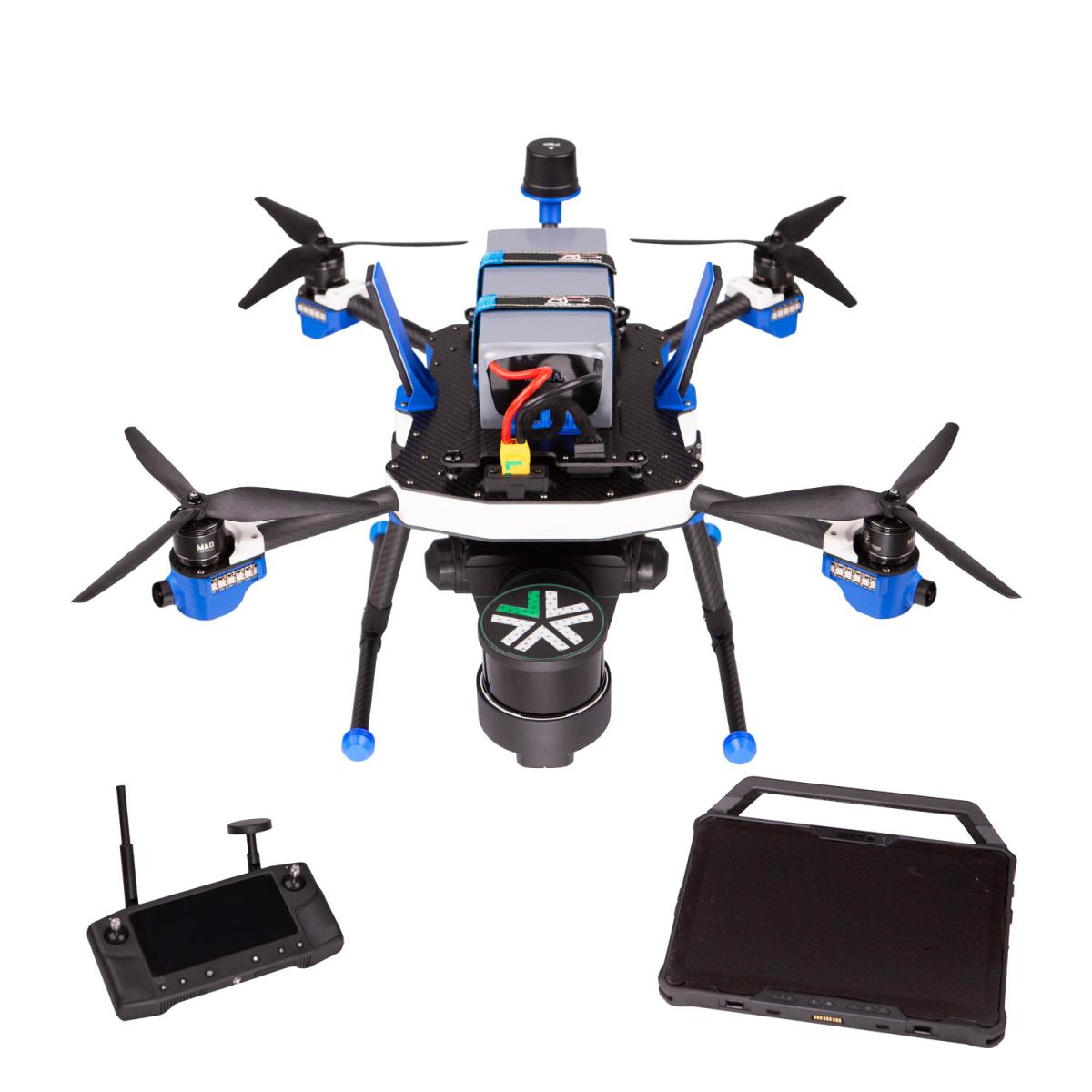
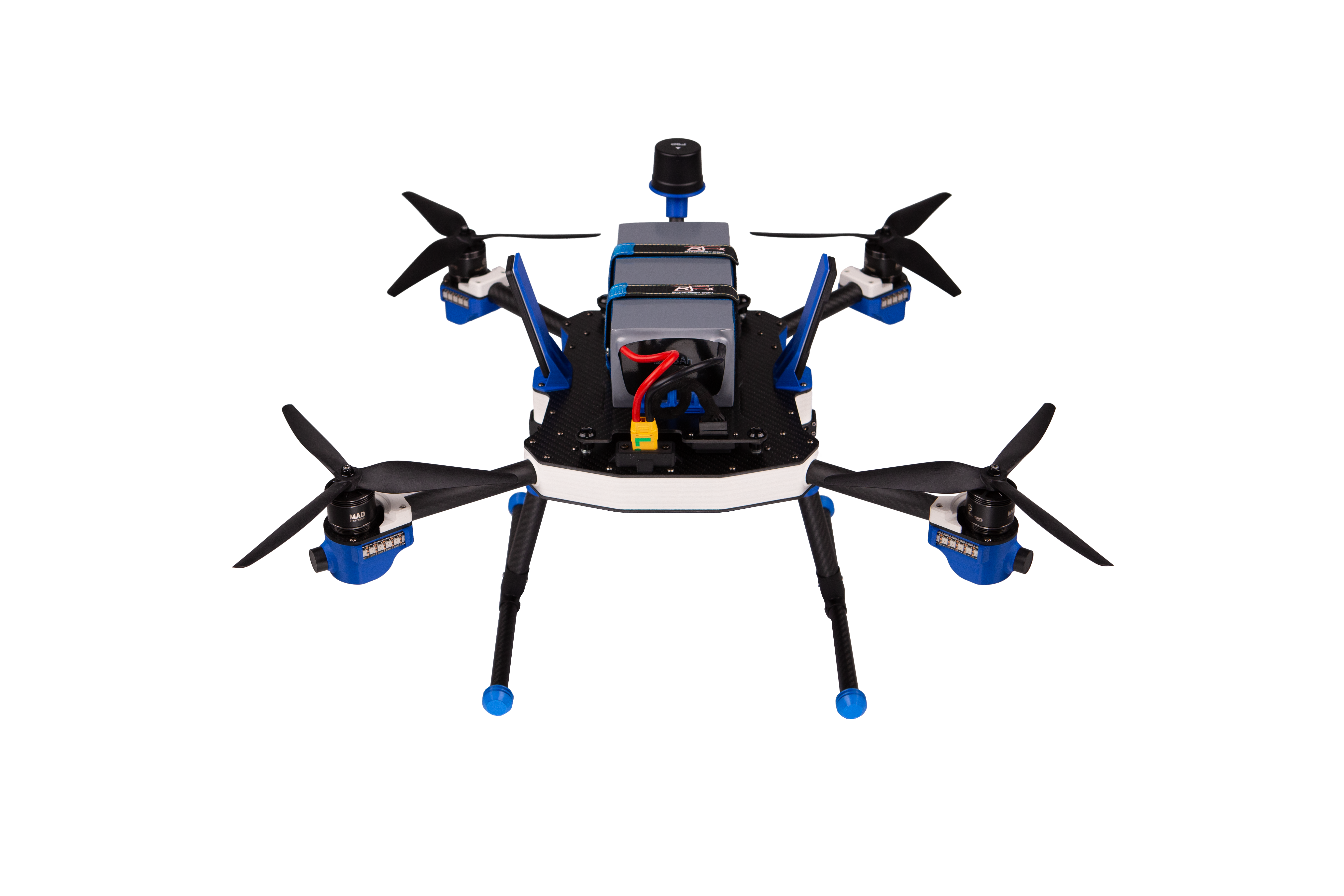
ARGOS: Unlocking Data Capture where Access is Dangerous or Limited
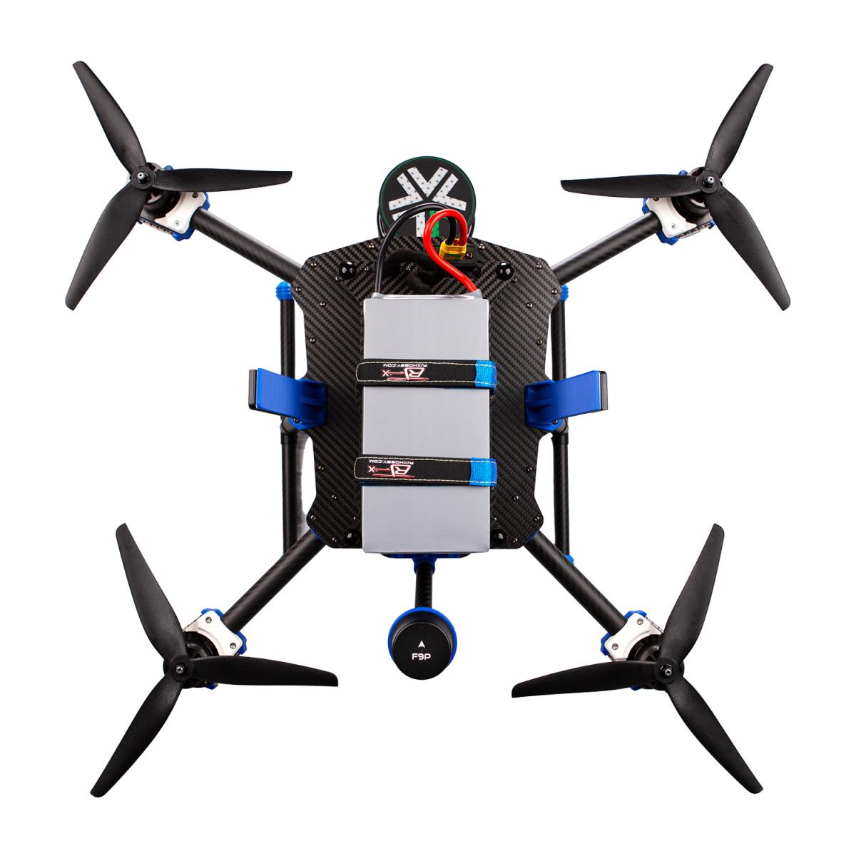
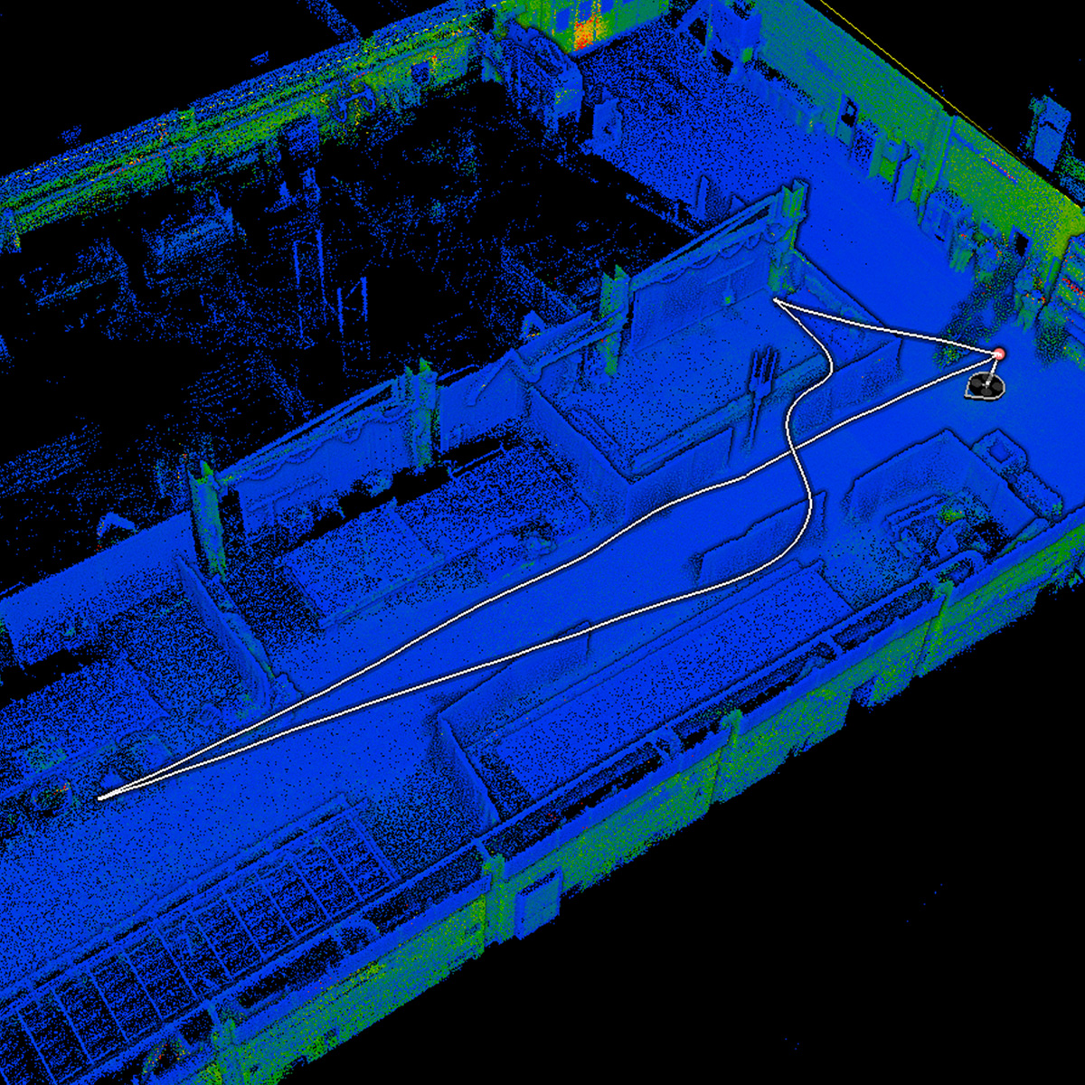
Autonomous SLAM-based LiDAR drone for outdoor & indoor mappingARGOS (Autonomous Reconaissance and Geospatial Observation System) is the autonomous SLAM-based LiDAR drone for outdoor & indoor mapping (no GPS required!)
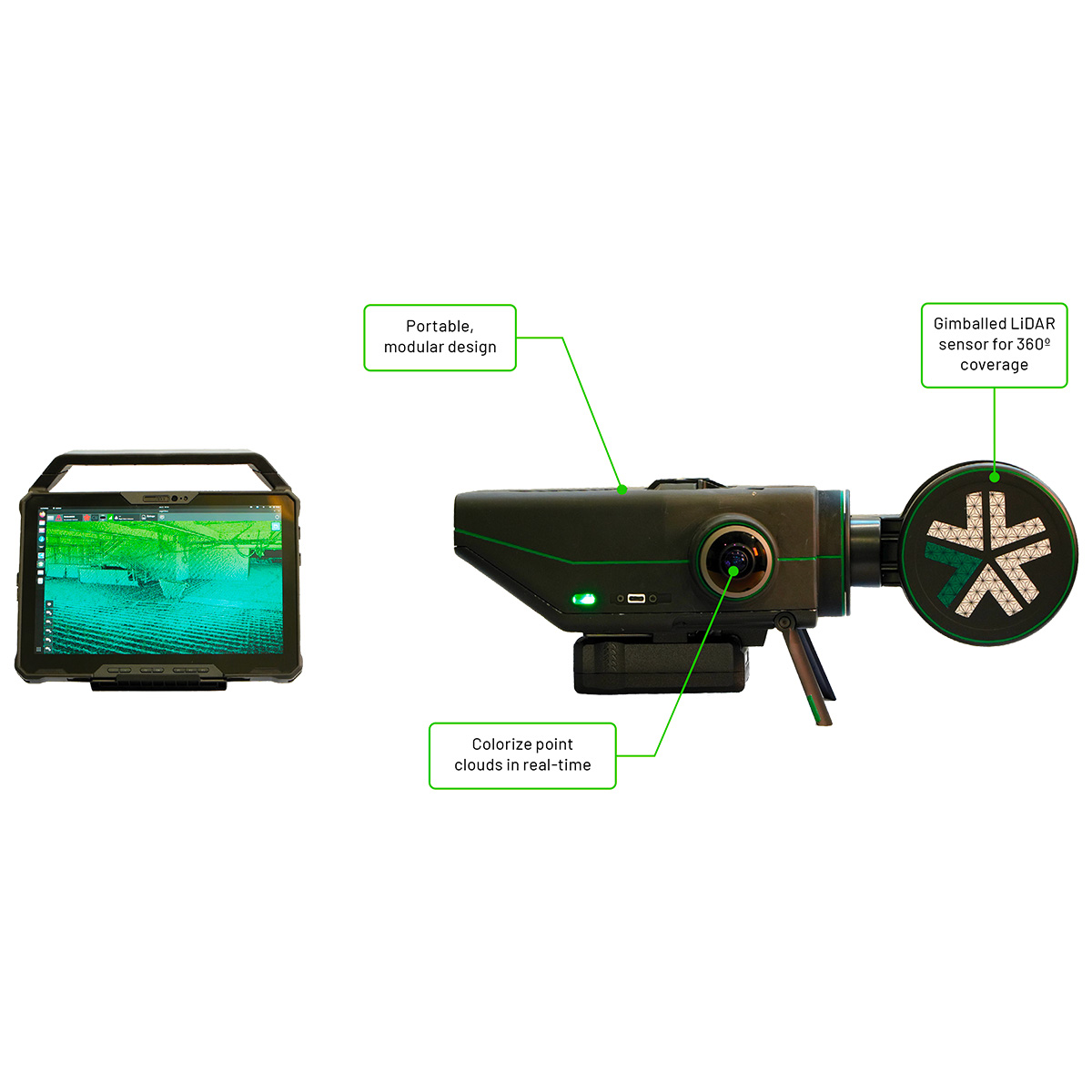
Thanks to the integration of the Exyn Nexys payload, it's an ideal solution for a wide range of industries including mining, geospatial surveying, construction, infrastructure inspection, media, film, and gaming.
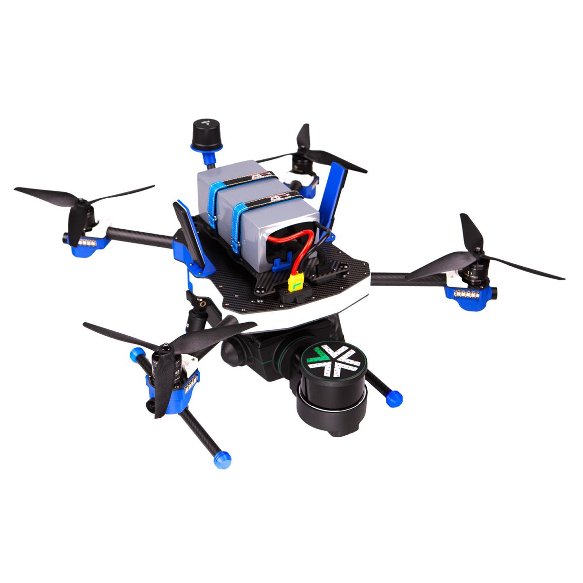
Here are the 4 main characteristics:
1) Payload: 2700g
2) Overall Dimensions: 810x680x385 mm
3) Full Load Flight time: 17 min
4) MTOM: 8240g
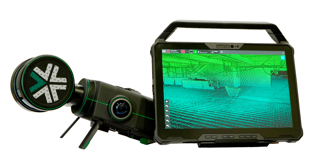
LiDAR features:
- Maximum Range: Up to 100 m (≈330 ft) at 80% surface reflectance
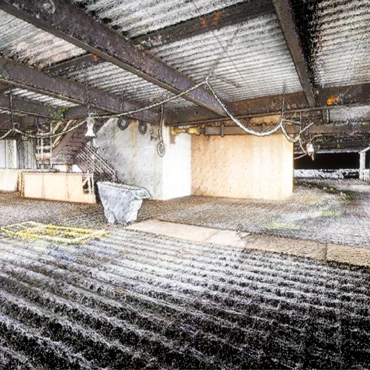
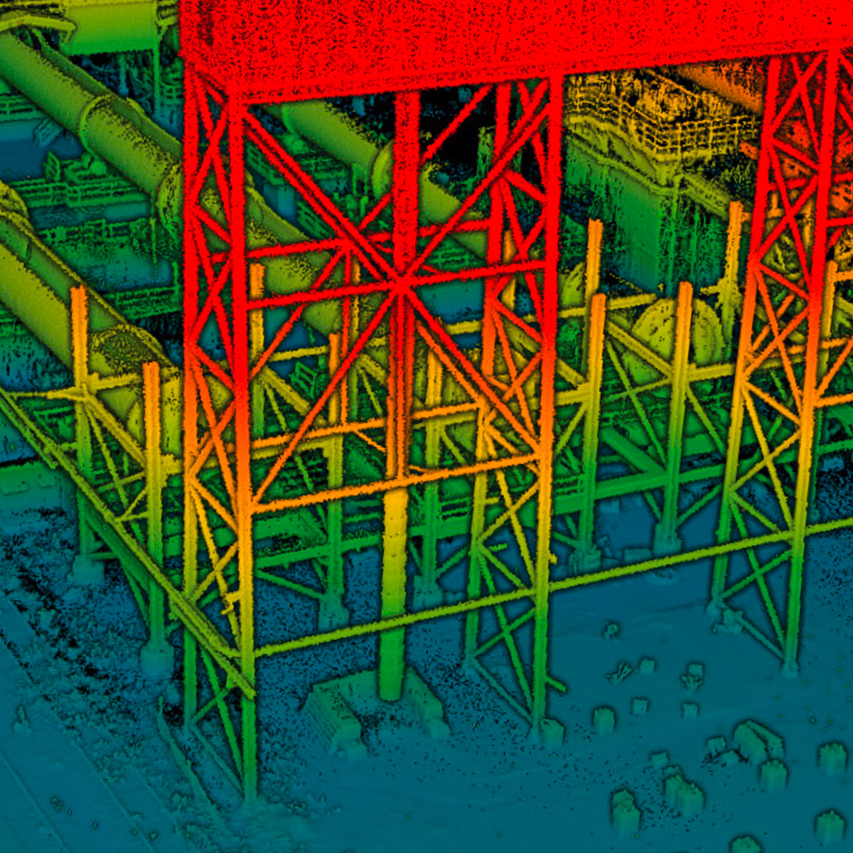
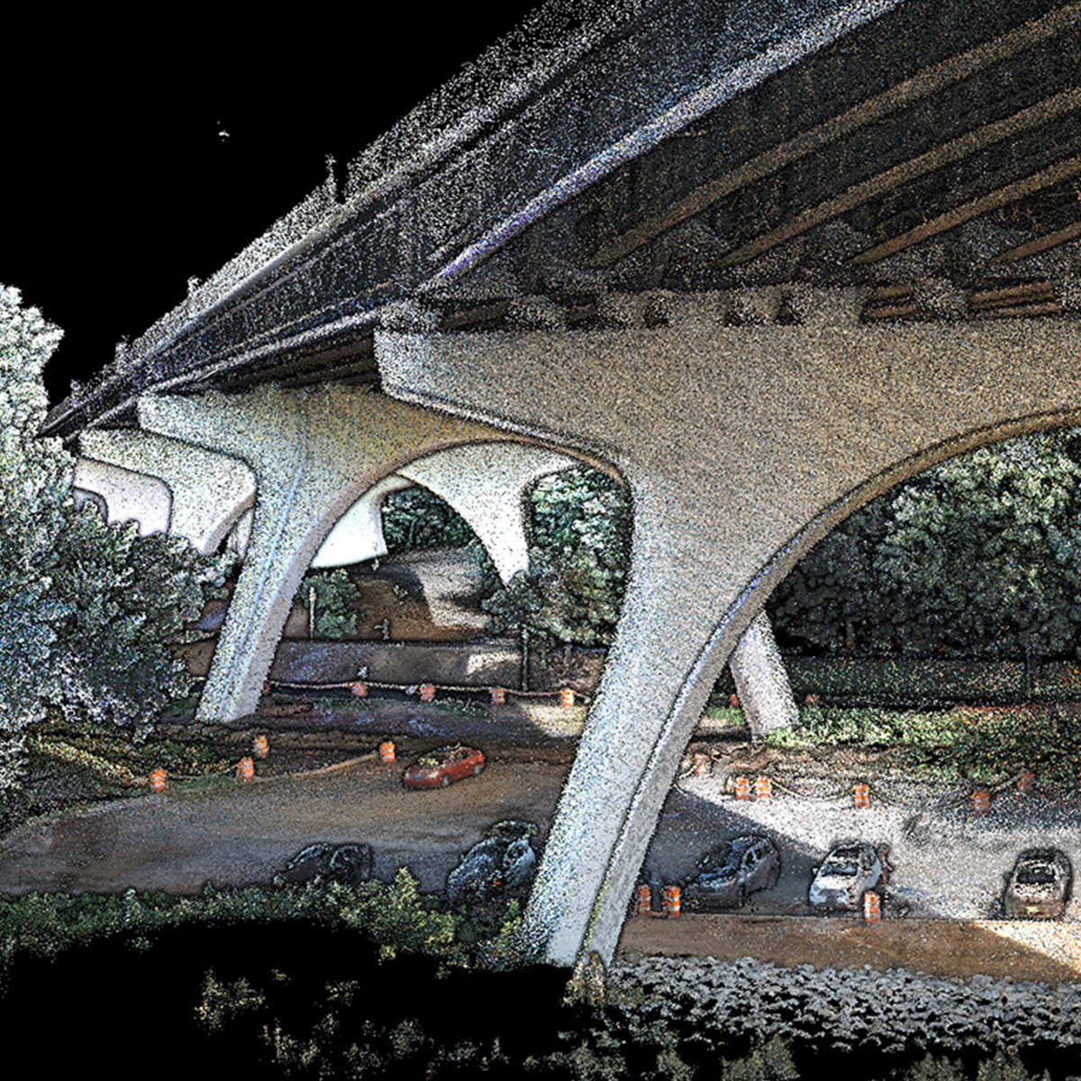
- Mapping Accuracy: Survey-grade accuracy of up to 1.9 million scan points per second at up to ±2 cm on Nexys and ±5 mm on Nexys Pro, while continuously updating the map as new data is received
- Data Capture Rate: 600,000 points per second
- Data Storage Capacity: 512 GB internal SSD for on-board data storage
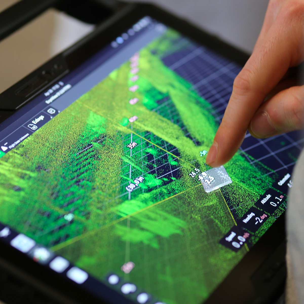
- Real Time Colorization & Visualization: Real-time visualization of captured data with full detail and colorization in the field to ensure the scan area is correct and complete before leaving the site
- Built to IP-67 standards for demanding industrial and commercial settings